Capitol Reef National Park is an American National Park in south-central Utah. The park is approximately 60 miles long on its north–south axis and just 6 miles wide on average
The park is filled with canyons, cliffs, towers, domes, and arches. The Fremont River has cut canyons through parts of the Waterpocket Fold, but most of the park is arid desert. A scenic drive shows park visitors some highlights, but it runs only a few miles from the main highway. Hundreds of miles of trails and unpaved roads lead into the equally scenic backcountry. (Source: Wikipedia)
Established: December 18, 1971
Size: 241,904 acres
Rank: 29
#Visitors in 2018: 1,227,627
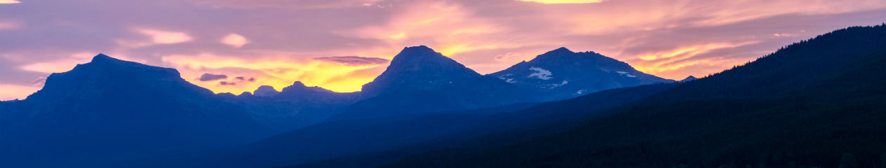
(May 2013) I visited a very small area of Capital Reef in May 2013 during a 9-day roadtrip through Utah and northern Arizona. I went with a fellow photographer who I met at an RMSP workshop in Glacier National Park the previous summer. My friend lives in Utah and organized the trip where we visited 4 National Parks, 3 State parks and slot canyons in Page, AZ.
Our visit consisted of driving through the park boundary along Hwy 24 and part of the way south on the park scenic drive. We had just visited Goblin State Park and were on our way to Bryce. We spent less than an hour in the park. So, officially, by my rules (stop in the Visitor Center to see the displays, films, and talk to a ranger and do at least 1 hike), this visit to Capital Reef doesn’t really count. Until I return to do it properly, I will post the few photos I have.


